Industry
DoorDash unveils its own delivery drone for DoorDash Air
DoorDash showed a drone it designed in-house for restaurant deliveries, with pilot flights starting in Northern California alongside its existing drone partners.
DoorDash has introduced a delivery drone of its own. The company announced the DoorDash Air drone delivery system on September 30, 2026, building on the DoorDash Air program it first described in July.
Where and what
Pilot deliveries are set to begin in Northern California, with Chipotle, Popeyes and Momo N Curry among the first restaurant partners. DoorDash did not give a launch date or name specific cities.
The company estimates that roughly 80% of typical restaurant orders on its platform are small and light enough for the aircraft, a figure it footnotes as based on limited distance, size and time-period data. It says early tests averaged under five minutes from restaurant to door, while noting that delivery times are not guaranteed.
DoorDash did not publish payload, range or takeoff-weight figures. DroneXL describes the aircraft as a six-propeller design that lowers orders on a winch, and reports, citing FreightWaves, that Wing and Flytrex will keep flying deliveries for DoorDash alongside the new drone.
Why operators should notice
Delivery companies building their own fleets is a sign the market expects drone delivery to scale beyond a few test towns. For commercial pilots doing survey or inspection work in the same suburbs, it means more low-altitude traffic and more reasons to keep checking airspace tools and local notices before each flight. Axios has more on how DoorDash plans to mix its own aircraft with partners.
Why it matters
A large consumer platform is now flying its own aircraft. That adds pressure for routine beyond-visual-line-of-sight rules and puts more drone traffic over the suburbs where mapping and inspection crews also work.
Sources and original reporting
Written by the DroneFlow.Ai News Desk from the sources above. Spotted an error? Tell us and we will correct it.
More drone news
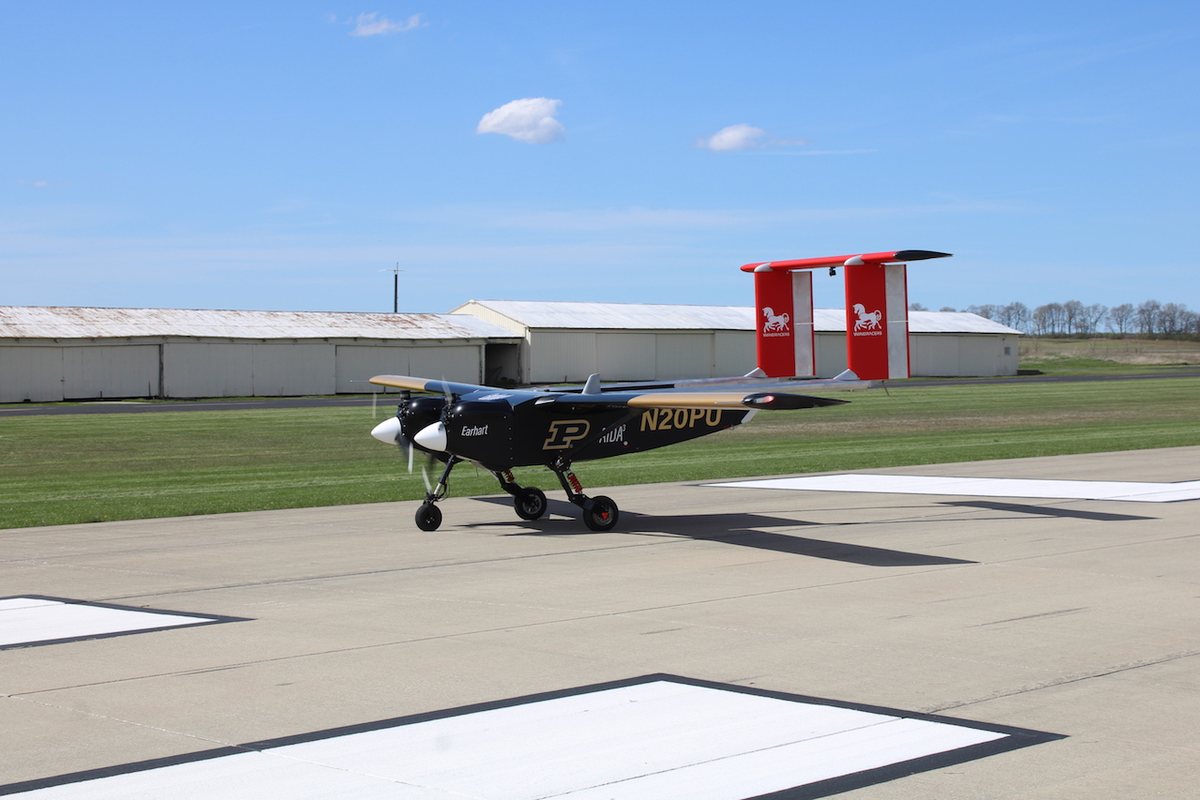
Purdue's Windracers ULTRA flies the first autonomous BVLOS flight in the new Indiana Drone Corridor
The heavy-lift aircraft covered more than 50 miles during the corridor's opening event at Terre Haute. Purdue plans to test it for parachute supply drops to flooded communities.
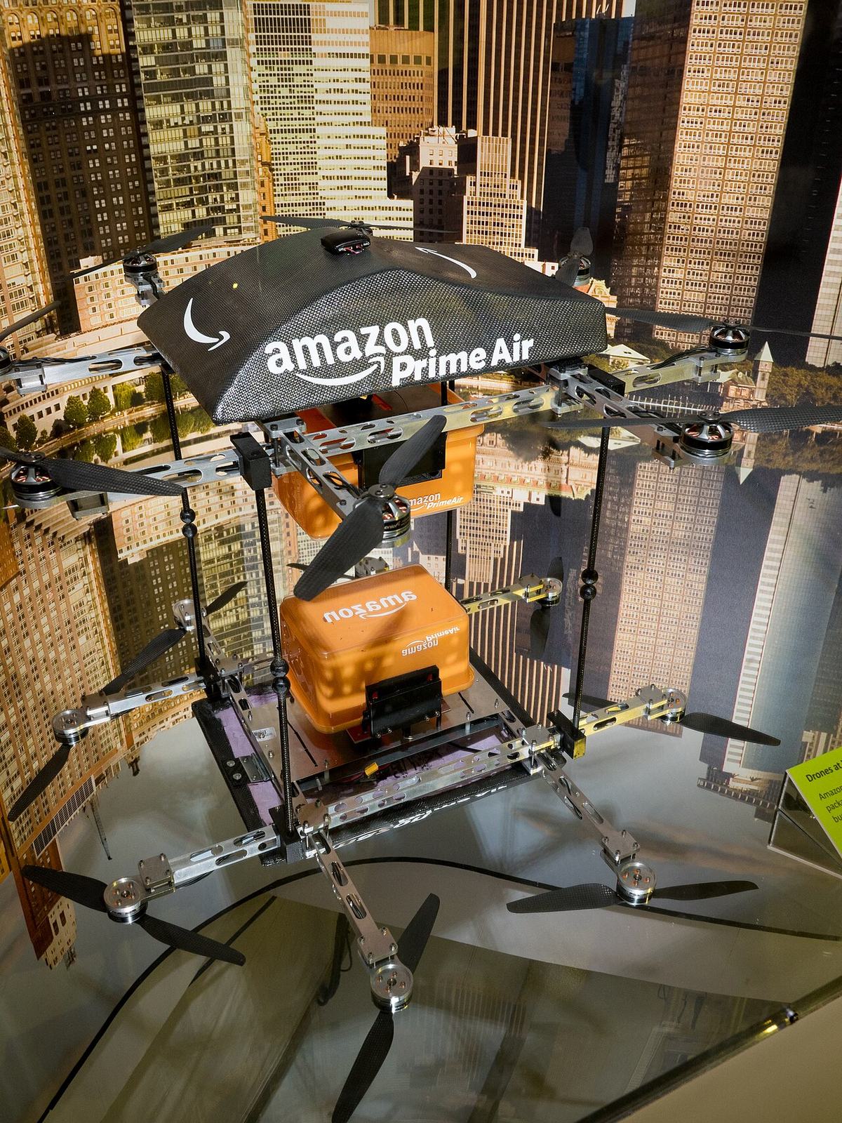
Amazon withdraws its Westborough, Massachusetts drone pad application and says a revised plan is coming
After months of local opposition, Amazon asked the town to let it withdraw without prejudice, which leaves it free to file again. A town bylaw and state reviews are still in play.
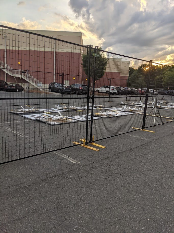
Wing aims to open several St. Louis drone hubs at once; Manchester sets two public sessions
Wing wants roughly seven Walmart delivery hubs in the St. Louis area to start together. Manchester, Missouri will hear the pitch on November 2 and 4.
Fly it, then map it
Upload your drone photos and get maps, 3D models and measurements — free trial, no credit card.