◆ Features
Everything you need to
deliver professional results
Start from raw photos or a finished export — every tool a drone data team needs, from reconstruction to client-ready deliverable, in one platform.
◆ New — for subdivisions
Track a subdivision lot by lot, not site by site
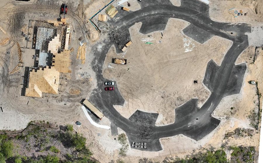
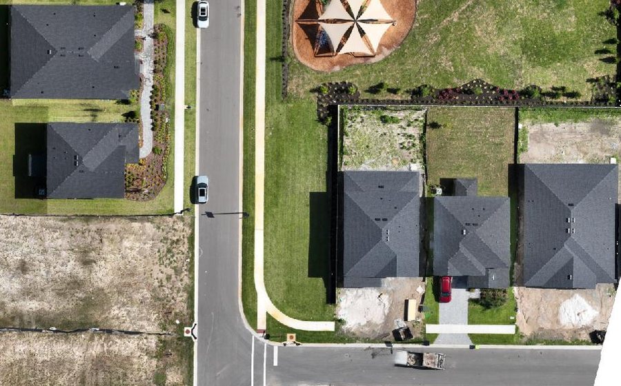
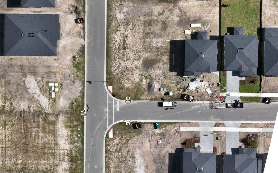
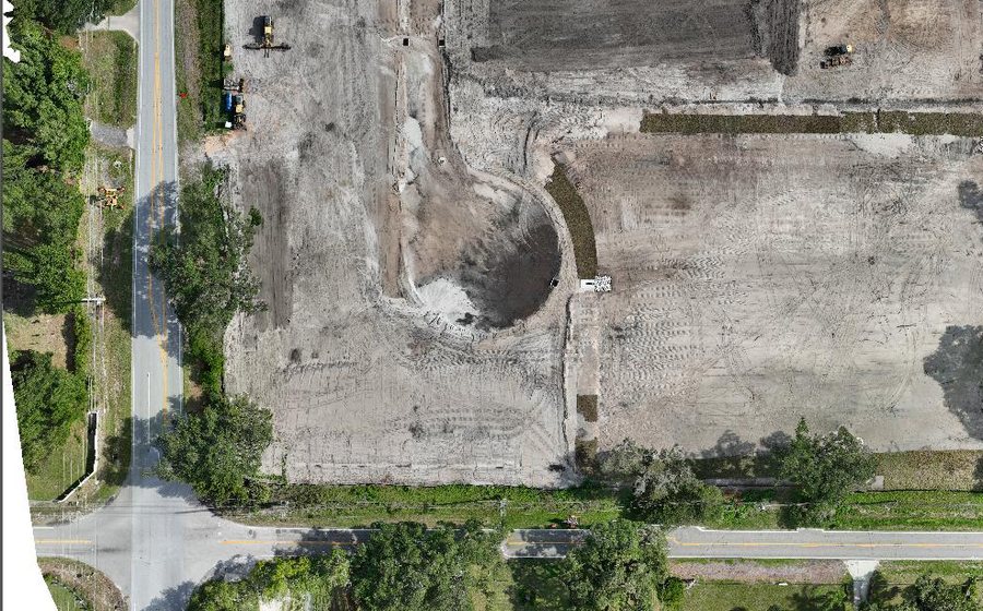
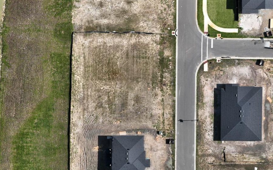
Upload the recorded plat and every lot becomes a row — its area from the boundary, a status you control, and its own cut and fill in cubic yards once you have flown the site twice. It answers “is lot 47 ready?”, which no site-level number can.
See the Lot Ledger →◆ Photogrammetry
Raw photos in, finished map out
No Software Needed
Drop the photos (or the whole folder) straight off the SD card — no zipping, no desktop photogrammetry suite, no GPU workstation.
RTK-Aware Accuracy
We read the per-photo positions your images already carry and pass them through reconstruction, so the precision you captured isn't thrown away — and where a flight records per-photo RTK precision we use it to weight the solve. Geotagged JPEG or PNG from most drones, DSLRs and phones works — shoot RAW or HEIC and export to JPEG first, and a capture with no GPS at all needs ground control. Per-photo RTK precision is read from DJI captures; other cameras are positioned from standard EXIF GPS. With good RTK or PPK and ground control, centimeter-level accuracy is achievable — results depend on your capture, not just the software.
The Full Deliverable Set
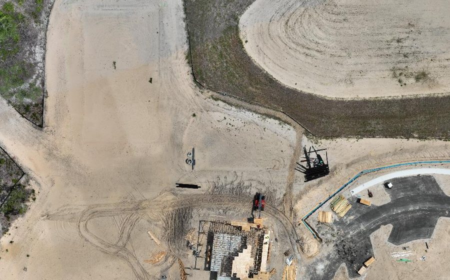
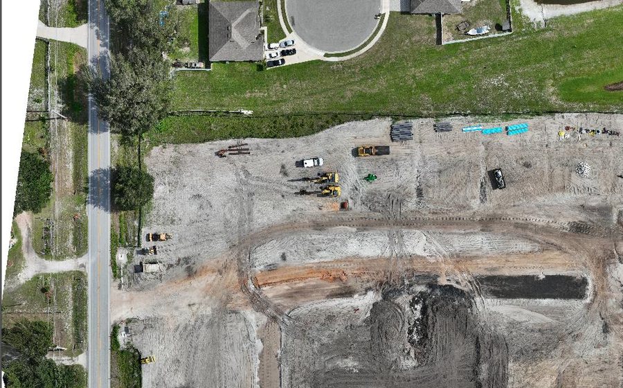
One upload produces the orthomosaic, surface & terrain models, contours, point cloud, textured 3D model and a branded PDF report.
Pay for What You Map
No subscription needed for one-off sites: buy credits from $49 and pay only for what you map — credits never expire. Mislabelled uploads are auto-detected and routed correctly.
◆ Processing & Outputs
Processing & Outputs
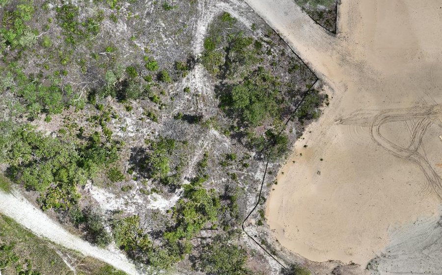
Orthomosaic Packaging
Bring a stitched GeoTIFF — or let us build one from your photos — and get a validated, georeferenced KMZ and web-tiled overlay back.
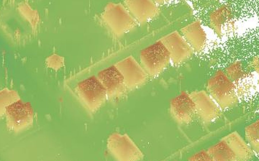
3D Model Packaging
A browser-ready interactive 3D viewer from your reconstructed mesh or ours — nothing to install on the viewer's end.
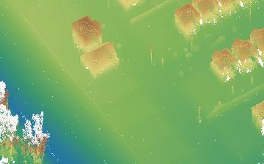
DSM / DEM Analysis
Colorized Surface and Elevation Models with contour line extraction, from your uploaded GeoTIFF, for grading and drainage work.
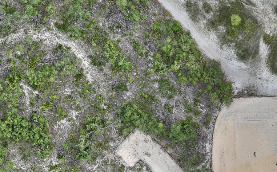
Point Cloud Export
Your dense LAS/LAZ point cloud, repackaged with a browsable KMZ footprint and a clean download link.
◆ Project Management
Every project, tracked end to end
Processing Status
Live step-by-step timeline for every job — queued, extracting, processing, QA, done.
Deliverables Dashboard
Every file from every project, organized by upload — no more digging through folders.
Client Share Links
Hand a client a revocable link that expires by date or view count — no account required.
Plan & Usage
Track projects used, plan limits, and upgrade the moment you need more capacity.
◆ AI Tools
AI that inspects, repairs and mines every map
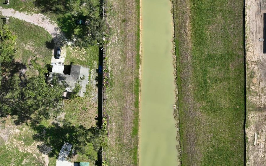
AI Map Doctor
Finished maps are scanned for defects — floating fragments, holes, seams — and scored. Review each finding, keep or remove it, and apply repairs in one click. Inspection runs automatically and never blocks delivery, so a map ships whether or not the scan completes.
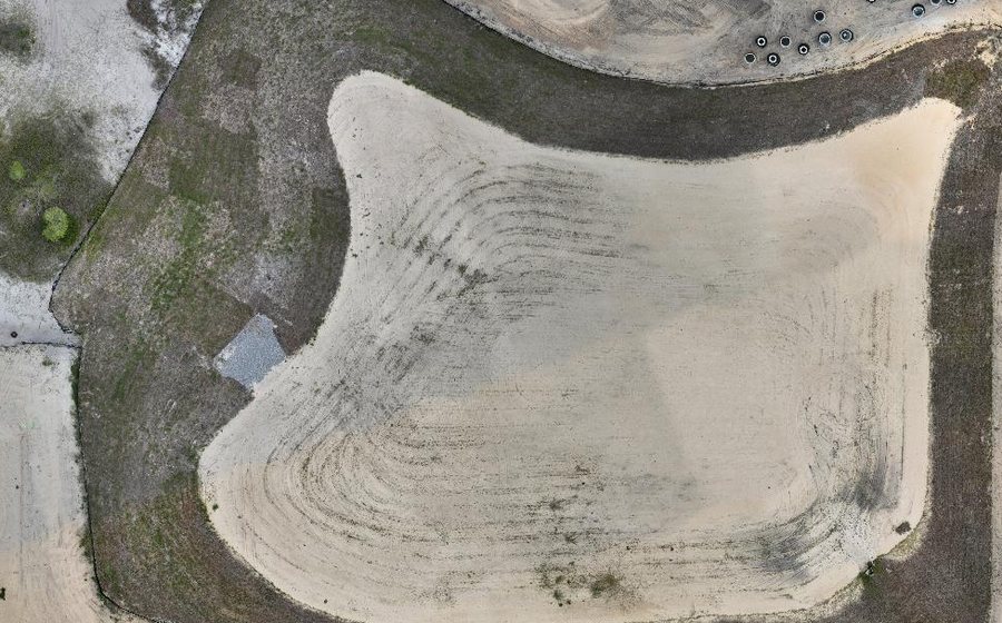
Undo-Safe Repairs
Repairs produce a separate cleaned copy; your original map is never modified. Don't like the result? One click restores exactly what you had.
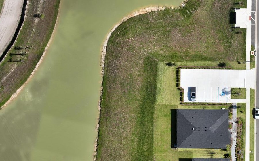
AI Mapping Expert
Chat with an assistant that knows your project's real data — elevations, areas, progress between flights — and explains processing issues in plain English.
Ready to see it on your own site?
Pay for what you map — or subscribe for recurring work. Start with a 7-day free trial of the full platform, no credit card required. Or check out a real case study first.