Products
Global Mapper moves to annual subscriptions, with drone photogrammetry in the top tier
Blue Marble Geographics replaces perpetual licenses with three named-user plans starting at $599, $1,199 and $2,199 a year. Drone photogrammetry and LiDAR tools sit in the top one.
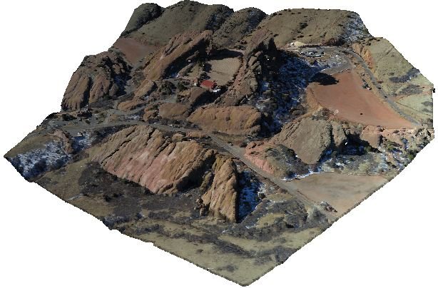

Blue Marble Geographics has moved its Global Mapper desktop GIS software from perpetual licenses with separate maintenance contracts to annual subscriptions for named users, DRONELIFE reports. Tools that used to be sold separately are folded into the plans.
The three tiers
Prices below are the "starting at" figures on Blue Marble's subscription page.
- Essentials, $599 a year: viewing data, converting formats, reprojecting coordinates and streaming online data sources.
- Advanced, $1,199 a year: adds terrain and vector analysis, scripting and map production. Geographic Calculator and MAPublisher are included, and MAPublisher needs Adobe Illustrator.
- Professional, $2,199 a year: adds LiDAR and point cloud processing, automatic image classification, and the Pixels to Points photogrammetry tool that turns drone images into point clouds, orthoimagery and textured 3D models.
What is new for drone work
Blue Marble lists several features as subscriber-only in the Professional tier: multispectral imagery in Pixels to Points, automated tree trunk classification from LiDAR, a live preview while tuning automatic point cloud analysis, and faster photogrammetric processing.
Existing customers
The company says perpetual licenses keep running on the version they already have. According to DRONELIFE, customers can move across to a subscription, and those with active maintenance contracts stay supported until the contracts end.
Subscribers get four releases a year, which Blue Marble says is twice the pace of the perpetual model, and manage seats and licenses through a new portal called Blue Marble Hub. DRONELIFE also ties the change to the company's combination with Avenza Systems in April, with closer links planned between desktop work and the Avenza Maps field app.
Why it matters
If you process drone data in Global Mapper, the way you buy it and which plan you need have both changed, and the newest features go to subscribers only.
How DroneFlow.Ai compares
DroneFlow.Ai is photogrammetry only. Our comparison page says plainly that we do not process raw LiDAR and do not produce radiometric thermal maps or NDVI, so LiDAR classification and multispectral work belong with tools built for them, Global Mapper Professional among them.
Where we differ is how you pay for drone mapping. Global Mapper's drone photogrammetry sits in the plan listed as starting at $2,199 a year. DroneFlow's pricing page starts at $49 for 250 photo credits that never expire, with no subscription, and monthly plans at $129, $279 and $449. These are not like-for-like products: Global Mapper is a full desktop GIS, and we are not.
Geotagged JPEG or PNG photos from most drones work with us, and one upload produces an orthomosaic, surface and terrain models, contours, a point cloud, a textured 3D model and a PDF report, as our features page sets out.
Sources and original reporting
Written by the DroneFlow.Ai News Desk from the sources above. Spotted an error? Tell us and we will correct it.
More drone news

UgCS 6.3 brings large-project planning to drone LiDAR surveys, with more DJI sensor controls
SPH Engineering's flight planning update lets crews manage LiDAR sites of 100 hectares or more as one project, adds DJI LiDAR settings and extends terrain following to side passes.

DJI launches Dock 4 with battery swaps and the Matrice 5TD, with no clear U.S. path
DJI's Dock 4 swaps batteries in under 25 seconds and pairs with a new Matrice 5TD carrying LiDAR and radar. Its spec sheet lists no FCC certification.
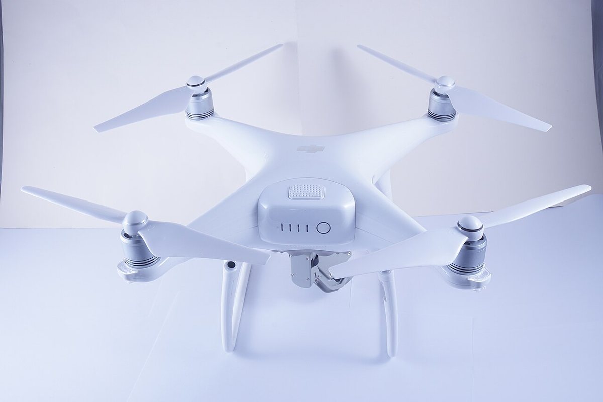
DJI ends service for the Phantom 4 Pro V2.0 on October 31
DJI's end-of-service table lists October 31, 2026 as the last day of support for the Phantom 4 Pro V2.0, a long-time workhorse for drone mapping.
Fly it, then map it
Upload your drone photos and get maps, 3D models and measurements — free trial, no credit card.