Products
UgCS 6.3 brings large-project planning to drone LiDAR surveys, with more DJI sensor controls
SPH Engineering's flight planning update lets crews manage LiDAR sites of 100 hectares or more as one project, adds DJI LiDAR settings and extends terrain following to side passes.
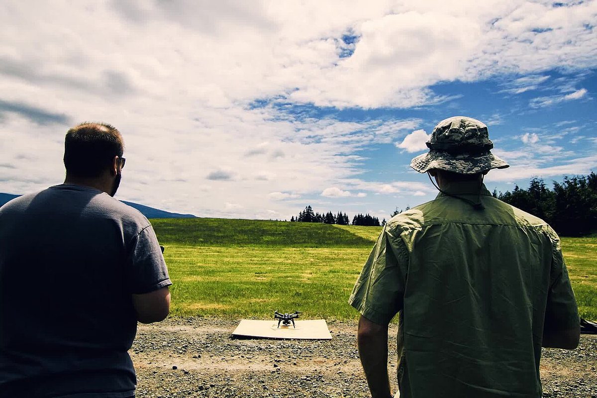

SPH Engineering has released UgCS 6.3, an update to its drone flight planning software aimed at large LiDAR jobs. DroneDJ reports that the Large Projects workflow, which arrived in UgCS 6.0 for magnetic surveys, now also covers LiDAR. Crews can treat a site of 100 hectares or more as a single project, then split it into smaller flight areas.
What is new for LiDAR
- DJI sensor settings: return mode and scanning mode can be set inside UgCS on compatible aircraft, instead of being handled separately.
- IMU calibration: for supported DJI LiDAR sensors, calibration maneuvers are added to each subarea automatically.
- Return points: each subarea can have its own, which helps when a crew moves across a site or a route ends away from where it began.
- Terrain following: side passes and overshoots can now follow the ground as well, where before only the main survey lines did.
Teams can also bring in existing digital terrain and surface models when preparing missions. DroneDJ says the software supports other LiDAR payloads on compatible aircraft, including systems from ROCK Robotic and YellowScan.
Licensing and limits
The Large Projects workflow and the advanced LiDAR tools require an Expert or Enterprise license. DroneDJ also points out that separate return points can support planning for flight beyond visual line of sight, but do not authorize it. Operators still have to meet the regulatory requirements for that kind of flight.
SPH Engineering is running a free webinar on November 10 at 12:00 New York time. It says the session will cover planning LiDAR projects over 100 hectares, configuring DJI L1, L2 and L3 payloads, IMU calibration and the terrain-following changes.
US buyers should note that the DJI features apply to aircraft and payloads they may already own. New foreign-made drones and critical components have been on the FCC's Covered List since December 2025, which limits new models reaching the US market but is separate from what planning software can do.
Why it matters
Sites too large for one battery often mean juggling separate missions with different settings. Keeping them in one plan can reduce that overhead, especially over uneven ground.
Sources and original reporting
Written by the DroneFlow.Ai News Desk from the sources above. Spotted an error? Tell us and we will correct it.
More drone news
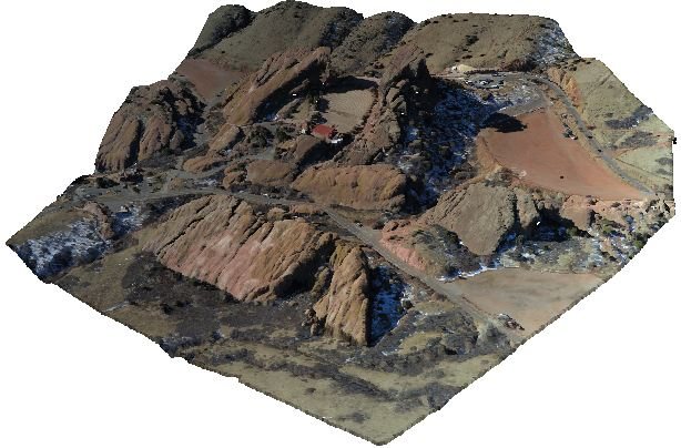
Global Mapper moves to annual subscriptions, with drone photogrammetry in the top tier
Blue Marble Geographics replaces perpetual licenses with three named-user plans starting at $599, $1,199 and $2,199 a year. Drone photogrammetry and LiDAR tools sit in the top one.

DJI launches Dock 4 with battery swaps and the Matrice 5TD, with no clear U.S. path
DJI's Dock 4 swaps batteries in under 25 seconds and pairs with a new Matrice 5TD carrying LiDAR and radar. Its spec sheet lists no FCC certification.
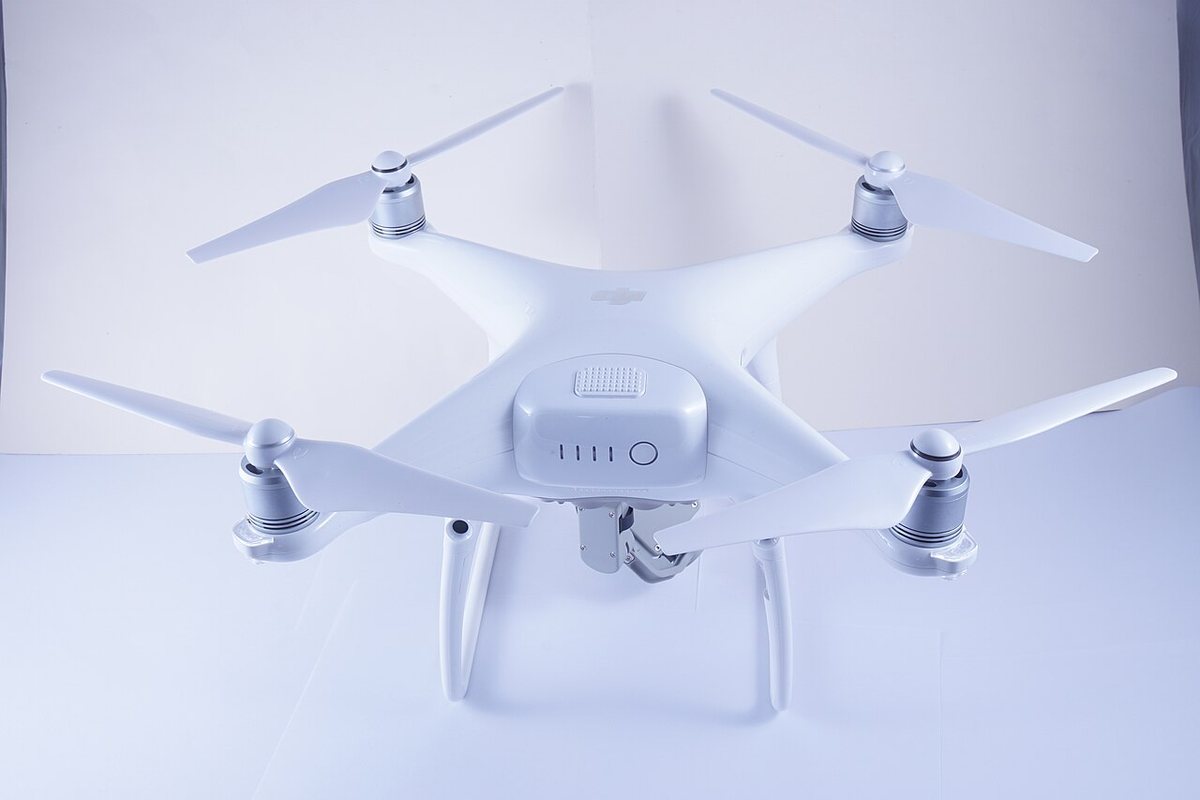
DJI ends service for the Phantom 4 Pro V2.0 on October 31
DJI's end-of-service table lists October 31, 2026 as the last day of support for the Phantom 4 Pro V2.0, a long-time workhorse for drone mapping.
Fly it, then map it
Upload your drone photos and get maps, 3D models and measurements — free trial, no credit card.