Regulation
FCC's first component-rule action blocks two devices with Huawei HiSilicon chips
Days after new rules took effect, the FCC stopped a dash camera and a wireless video transmitter from U.S. sale because they contained a HiSilicon chip.
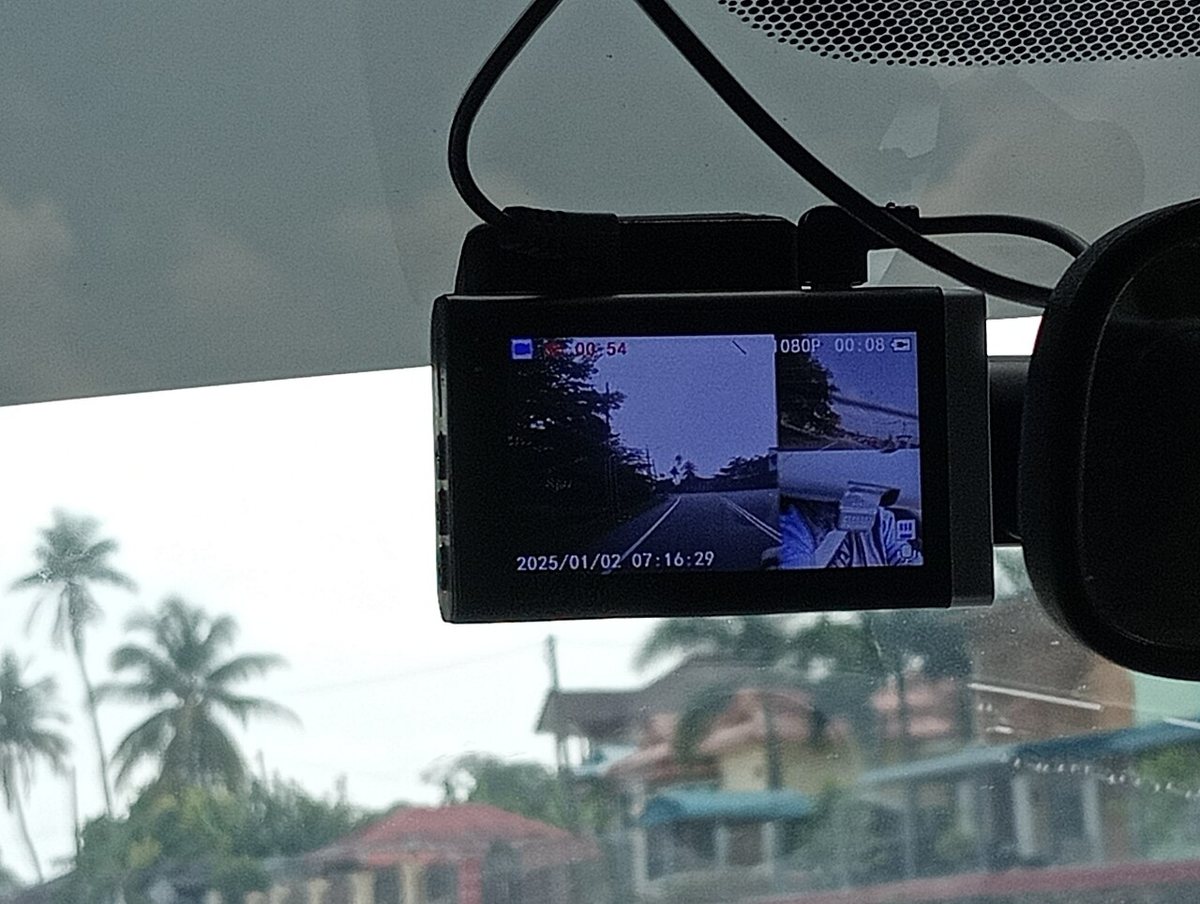

The FCC has used its new component rules for the first time. In an October 22, 2026 news release, the agency said its Office of Engineering and Technology had kept two products off the U.S. market: a dash camera and a wireless video transmitter.
Why they were blocked
Both devices contained a chip made by HiSilicon, which the FCC describes as a Huawei subsidiary. Huawei is on the FCC's Covered List. The FCC called the action the first enforcement of its rules barring authorization of devices that contain logic-bearing components from Covered List entities. Those rules, adopted in the Third Report and Order FCC 26-50, took effect on October 13, 2026.
The FCC did not name the manufacturers or the models, and the release does not say whether the video transmitter was meant for drones.
The drone angle
Drone makers should pay attention because DJI and Autel are on the Covered List too. DroneXL reads the rule as meaning that a new drone assembled in the U.S. could be refused FCC authorization if it contains a logic-bearing part from a covered company, even when the finished product carries a U.S. brand.
For manufacturers, the practical step is to audit their bill of materials down to chip level, including radios, video transmitters, flight controllers and camera modules, and to keep documentation of where each logic-bearing component comes from. For operators, aircraft that are already authorized are not affected by this action.
Why it matters
The same rule, in force since October 13, bars FCC authorization of devices containing logic-bearing parts from Covered List companies. Builders of U.S. drones should expect examiners to look inside the boards.
Sources and original reporting
Written by the DroneFlow.Ai News Desk from the sources above. Spotted an error? Tell us and we will correct it.
More drone news
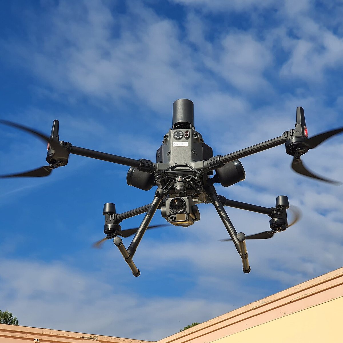
FCC counsel says a ban on foreign thermal, LiDAR and spray drones is still under review
An FCC national security lawyer told a podcast the agency is still reading comments and might allow a transition. Its July notice already proposes 180 days.

FCC exempts Switzerland's Voliro T inspection drone from its Covered List
A conditional approval from the Department of War clears the contact-inspection drone. It is the 21st entry on the FCC's drone approvals list, and it depends on a plan to move production onshore.
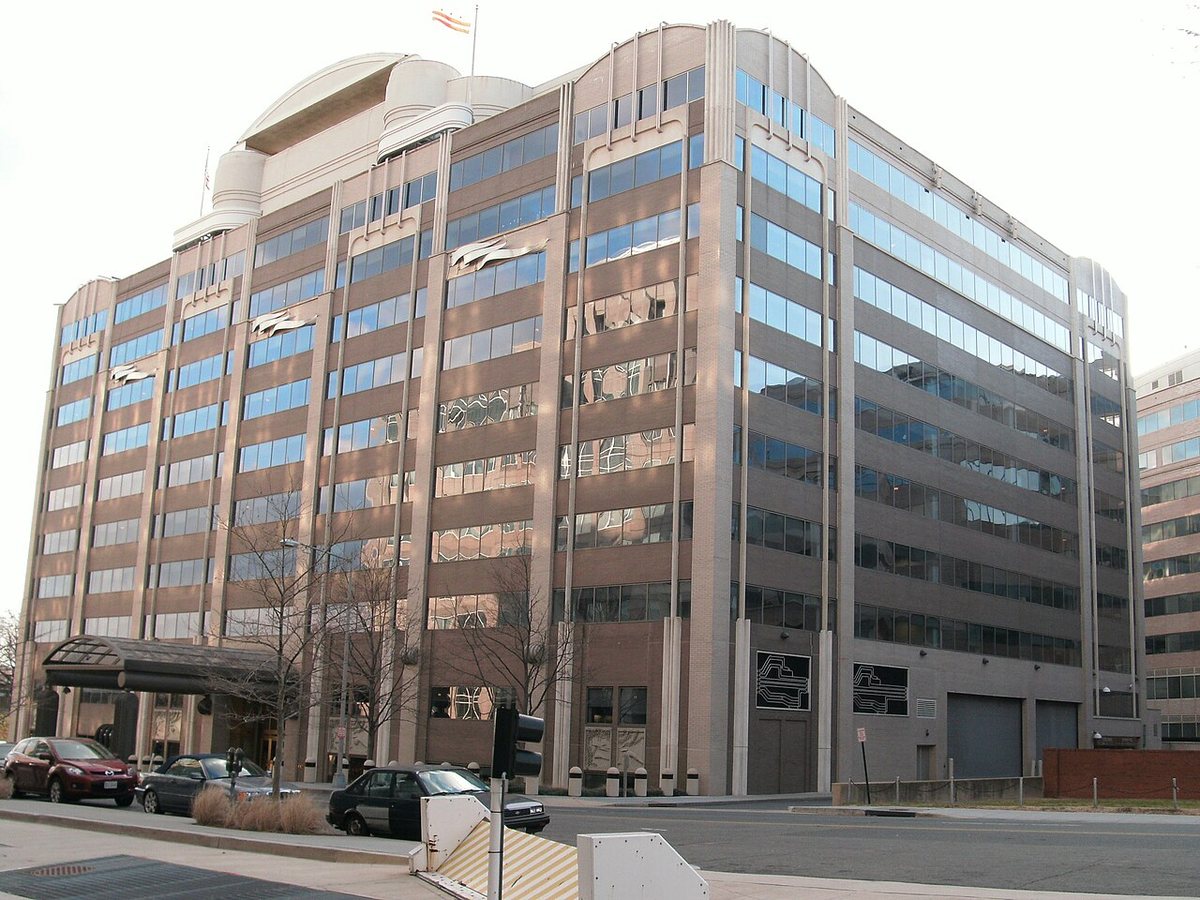
FCC votes 3-0 to open the 800 MHz cellular band to drones, ending a 1991 airborne ban
Drones can use about 50 MHz of low-band cellular spectrum once the order takes effect. It does not make flying beyond visual line of sight any easier: that still waits on the FAA.
Fly it, then map it
Upload your drone photos and get maps, 3D models and measurements — free trial, no credit card.