Regulation
FCC schedules October 29 votes on 800 MHz cellular for drones and on test labs
FCC Chairman Brendan Carr put two drone-relevant items on the October 29 agenda: opening the 800 MHz cellular band to drones, and phasing out recognition of test labs in China.
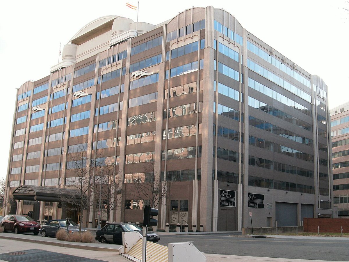

Two items on the FCC's October 29, 2026 open meeting agenda matter to drone operators. Chairman Brendan Carr announced them on October 7. Both are drafts until the commissioners vote.
800 MHz cellular for drones
The first is a set of final rules that would let drones use the 800 MHz Cellular Radiotelephone Service, the 824-849 MHz and 869-894 MHz bands. Today's rules prohibit airborne use of those frequencies. The draft order adds language saying that prohibition does not apply to uncrewed aircraft. If adopted, the change takes effect 30 days after it is published in the Federal Register.
For operators, more spectrum that carriers can use for drone connectivity is a building block for beyond-visual-line-of-sight work that relies on cellular command links, such as remote dock operations.
Test labs in China
The second item is a separate draft order that would end FCC recognition of testing labs and certification bodies located in countries without reciprocal agreements, including mainland China. According to DroneXL's reading of the draft, recognition would end on December 1, 2028, and labs in China tested 82% of the devices that sought FCC authorization in 2025.
If that holds, manufacturers of drones, radios and payloads could face longer queues and higher costs to certify new products at labs elsewhere. We will update this story after the October 29 vote. DroneXL also has a closer look at the 800 MHz item.
Why it matters
Cellular links are what make networked BVLOS work such as docks and long corridors practical, and another carrier band would help. The lab rule affects how quickly and cheaply drone electronics get FCC approval.
Sources and original reporting
Written by the DroneFlow.Ai News Desk from the sources above. Spotted an error? Tell us and we will correct it.
More drone news
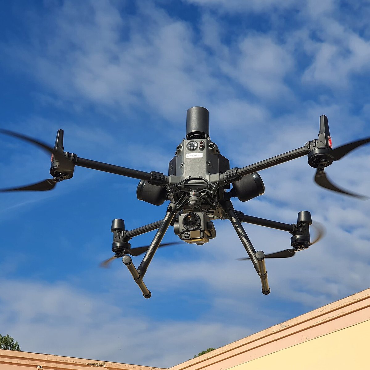
FCC counsel says a ban on foreign thermal, LiDAR and spray drones is still under review
An FCC national security lawyer told a podcast the agency is still reading comments and might allow a transition. Its July notice already proposes 180 days.

FCC exempts Switzerland's Voliro T inspection drone from its Covered List
A conditional approval from the Department of War clears the contact-inspection drone. It is the 21st entry on the FCC's drone approvals list, and it depends on a plan to move production onshore.
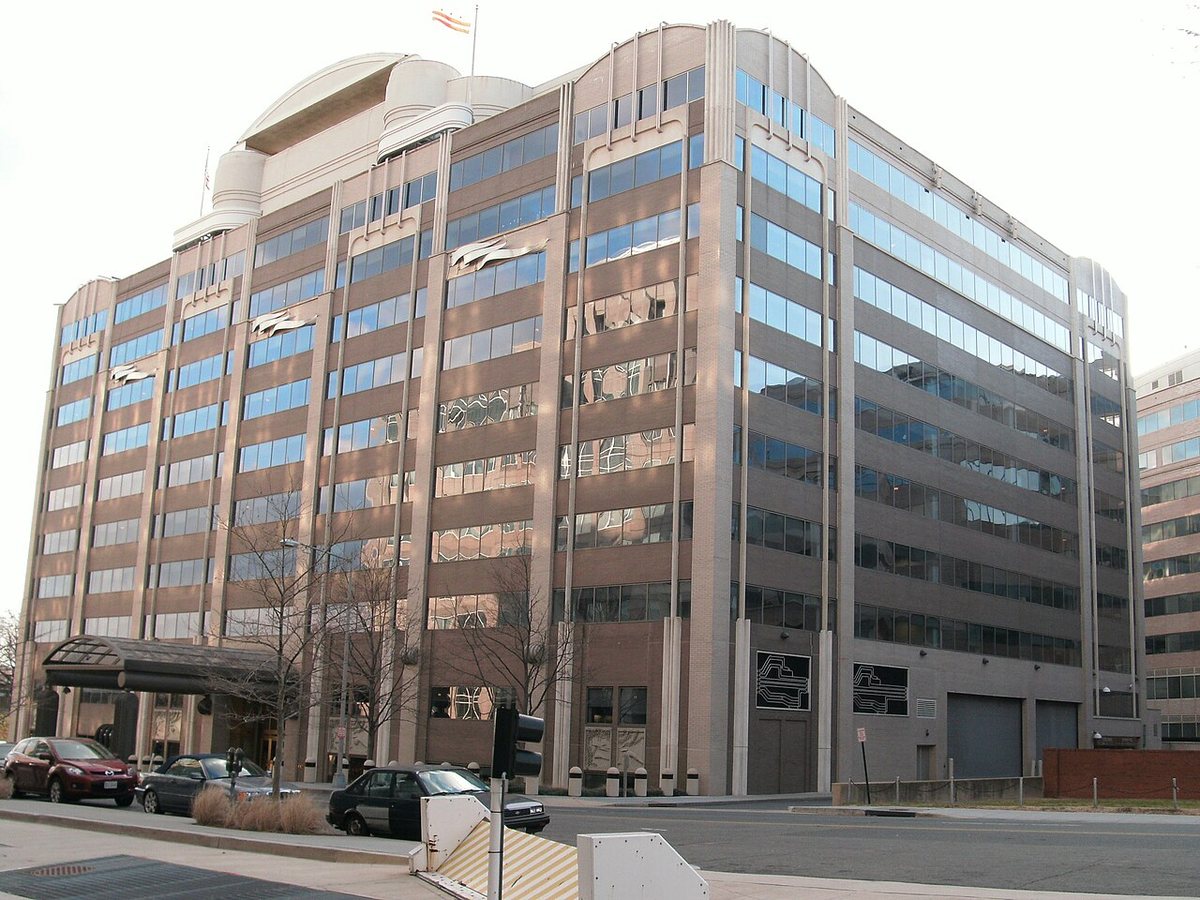
FCC votes 3-0 to open the 800 MHz cellular band to drones, ending a 1991 airborne ban
Drones can use about 50 MHz of low-band cellular spectrum once the order takes effect. It does not make flying beyond visual line of sight any easier: that still waits on the FAA.
Fly it, then map it
Upload your drone photos and get maps, 3D models and measurements — free trial, no credit card.