Regulation
FCC sets a November 19 vote on 450 MHz drone control links and 24 GHz drone-detection radar
Two orders would allow data links for drones at 450 MHz under one nationwide license, permanent rules for ground radar that tracks drones, and more satellite connectivity at 28 GHz.
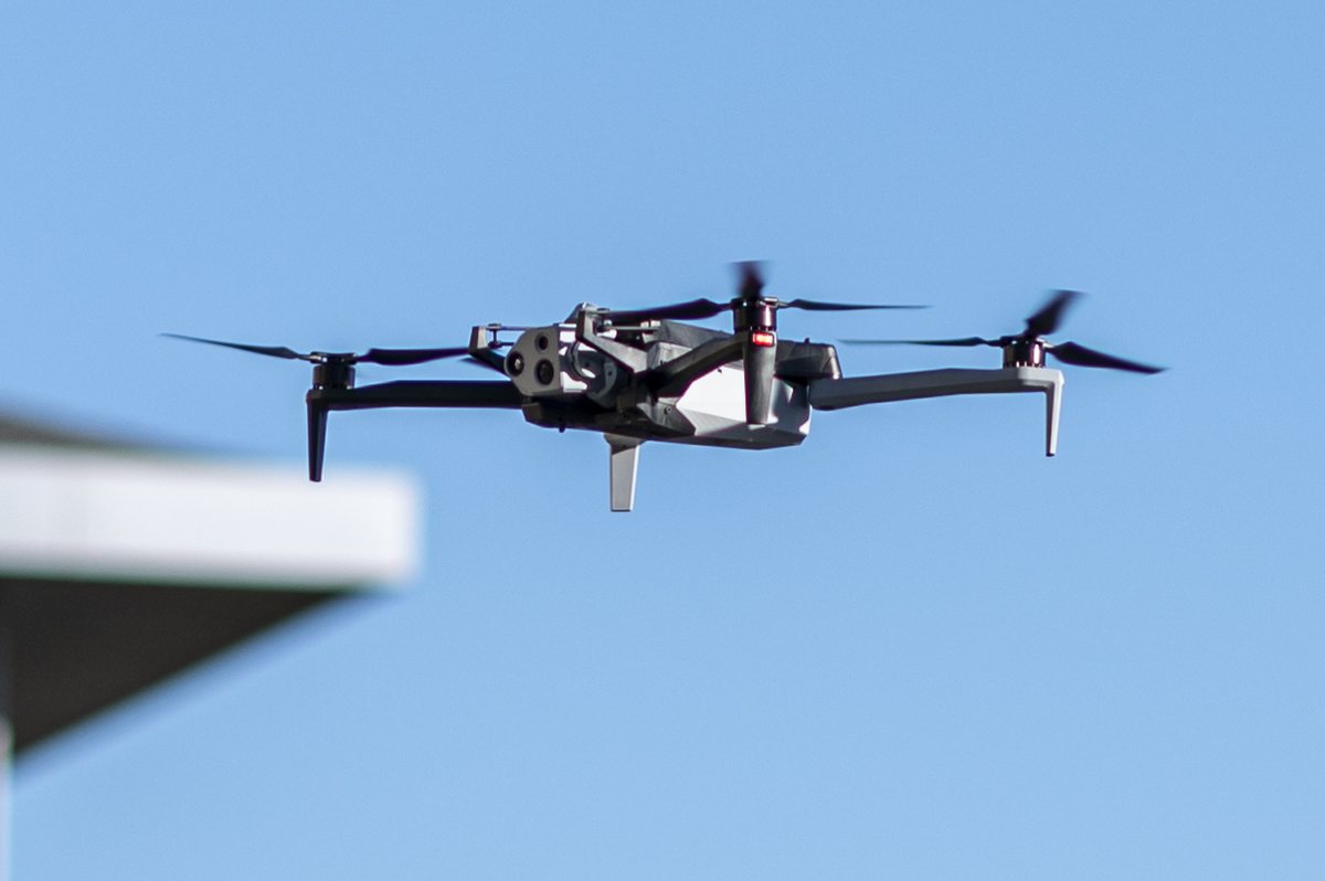

FCC Chairman Brendan Carr announced on October 28 that the commission will vote on November 19 on two orders affecting drones. The FCC's release lists four areas of action. These are final rules that still need a vote of the full commission, and the draft text was due online the following day.
The four changes
- 450 MHz: today's site-by-site rules limit the band to voice calls for general aviation at high altitude. The order would allow safety-related data links for crewed and uncrewed aircraft under a nationwide licensing system.
- 24.45 to 24.65 GHz: ground-based radar could detect and track unauthorized drones near airports, borders, prisons, stadiums and critical infrastructure, as long as it avoids interfering with users that have priority.
- 800 MHz air-ground band: updated rules aimed at better in-flight internet, separate from the 800 MHz cellular order adopted on October 29.
- 28.35 to 28.6 GHz: low-Earth orbit satellite terminals on moving objects, drones included, could use the entire range.
One licensee at 450 MHz
DroneXL traced the proposal back to January 2025, when the commission first asked for comment. It says AURA Network Systems is the band's only incumbent, and that the proposal would convert its licenses into one nationwide control-link license with no auction. The 2025 proposal paired that with coverage requirements at 400 feet: 17.5 percent of each regional license area within four years and 35 percent within eight, with higher targets if the licensee gives up high-altitude service. DroneXL says those targets are the part to compare once the final draft is public, and we have not confirmed whether the draft changes them.
Detection, not mitigation
DroneXL reports that the radar rule answers a 2018 petition from Echodyne, and that drone-detection radar has run in the band under waivers until now. As DroneXL notes, allowing a radar to see a drone gives nobody authority to jam it or bring it down. That power comes from separate federal law.
Why it matters
Licensed control links that reach low altitude could matter for BVLOS work, though who can use them depends on one license holder's build-out. Detection radar near airports and critical sites may also become more common.
Sources and original reporting
Written by the DroneFlow.Ai News Desk from the sources above. Spotted an error? Tell us and we will correct it.
More drone news
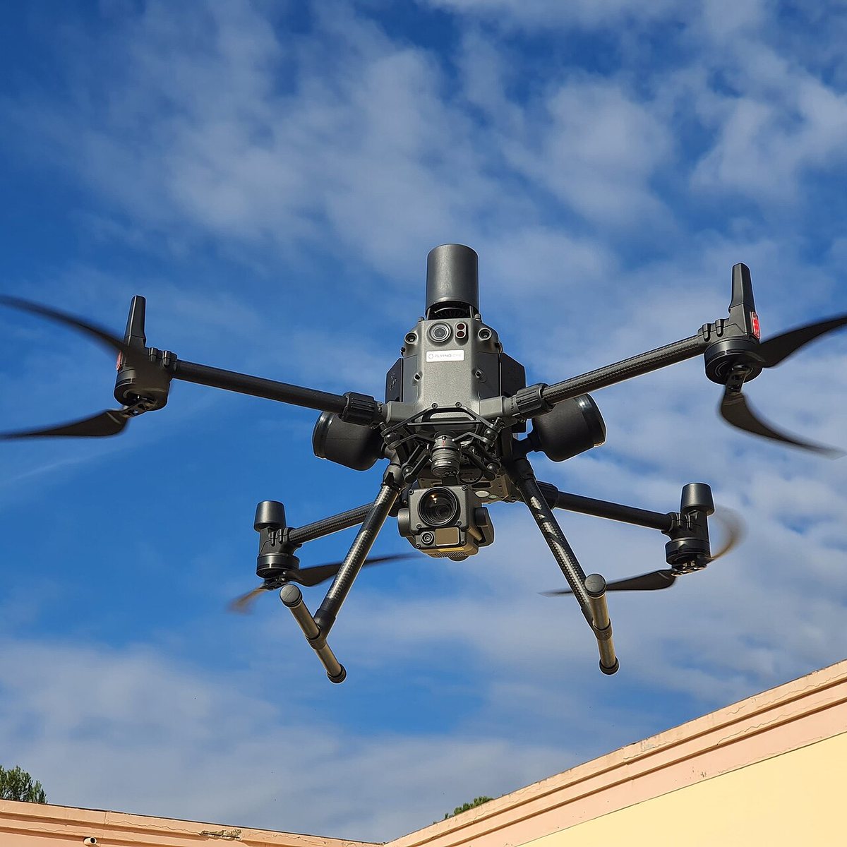
FCC counsel says a ban on foreign thermal, LiDAR and spray drones is still under review
An FCC national security lawyer told a podcast the agency is still reading comments and might allow a transition. Its July notice already proposes 180 days.
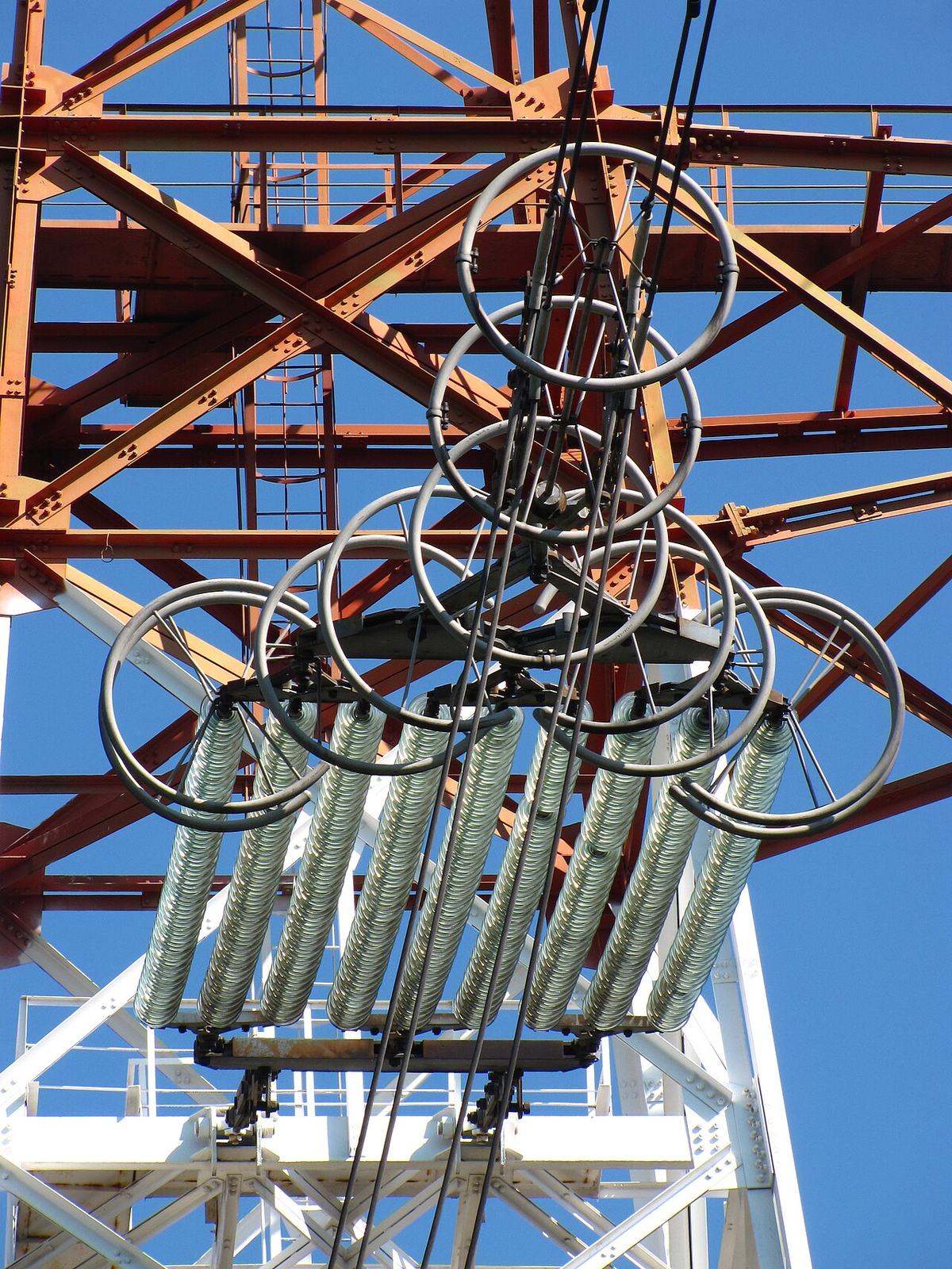
FCC exempts Switzerland's Voliro T inspection drone from its Covered List
A conditional approval from the Department of War clears the contact-inspection drone. It is the 21st entry on the FCC's drone approvals list, and it depends on a plan to move production onshore.
FCC votes 3-0 to open the 800 MHz cellular band to drones, ending a 1991 airborne ban
Drones can use about 50 MHz of low-band cellular spectrum once the order takes effect. It does not make flying beyond visual line of sight any easier: that still waits on the FAA.
Fly it, then map it
Upload your drone photos and get maps, 3D models and measurements — free trial, no credit card.