Regulation
A year-long no-drone zone now runs along the entire U.S.-Mexico border
New temporary flight restrictions bar unauthorized drone flights within one nautical mile of the southern border, surface to 400 ft, from October 19, 2026 to October 19, 2027.
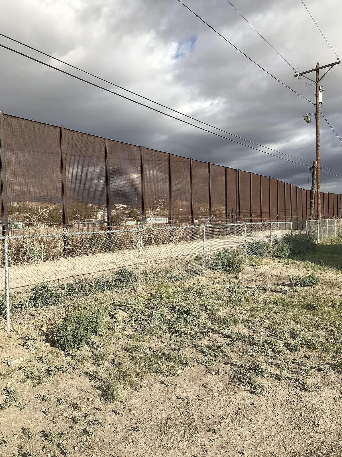

Three federal departments, Transportation, Homeland Security and War, jointly announced on October 16, 2026 a temporary flight restriction that bars unauthorized drone flights along the whole U.S.-Mexico border.
The restriction
The restricted area extends one nautical mile (about 1.15 statute miles) north of the border, from the surface up to 400 feet above ground level. The FAA's domestic notice lists it as running from October 19, 2026 to October 19, 2027 under NOTAMs ZLA 6/9954, ZAB 6/9978 and ZHU 6/9956.
DroneXL reports that the NOTAMs designate the area as National Defense Airspace, apply to every drone including sub-250 g recreational ones, and list approval categories such as defense, security, law enforcement, firefighting, medical evacuation, search and rescue, disaster response and event operations. Some outlets have published different NOTAM numbers; the FAA notice is the authority, and pilots should confirm the current text in NOTAM Search before flying.
How to get permission
Requests to fly inside the zone go to U.S. Customs and Border Protection by email at [email protected], at least 48 hours before the flight. First responders handling a disaster or other emergency can ask for expedited coordination by calling CBP at 951-570-4185.
What it means for commercial work
The approval categories do not include routine commercial work such as surveying, construction progress or real-estate photography. Companies with jobs near the border should plan for the 48-hour lead time, expect that approval is not guaranteed, and keep documentation of any authorization on hand during the flight.
Why it matters
Survey, construction and real-estate flights near the border, including parts of El Paso, Laredo and Brownsville, now need CBP approval first. Check NOTAMs before any job within about 1.15 miles of the border.
Sources and original reporting
Written by the DroneFlow.Ai News Desk from the sources above. Spotted an error? Tell us and we will correct it.
More drone news
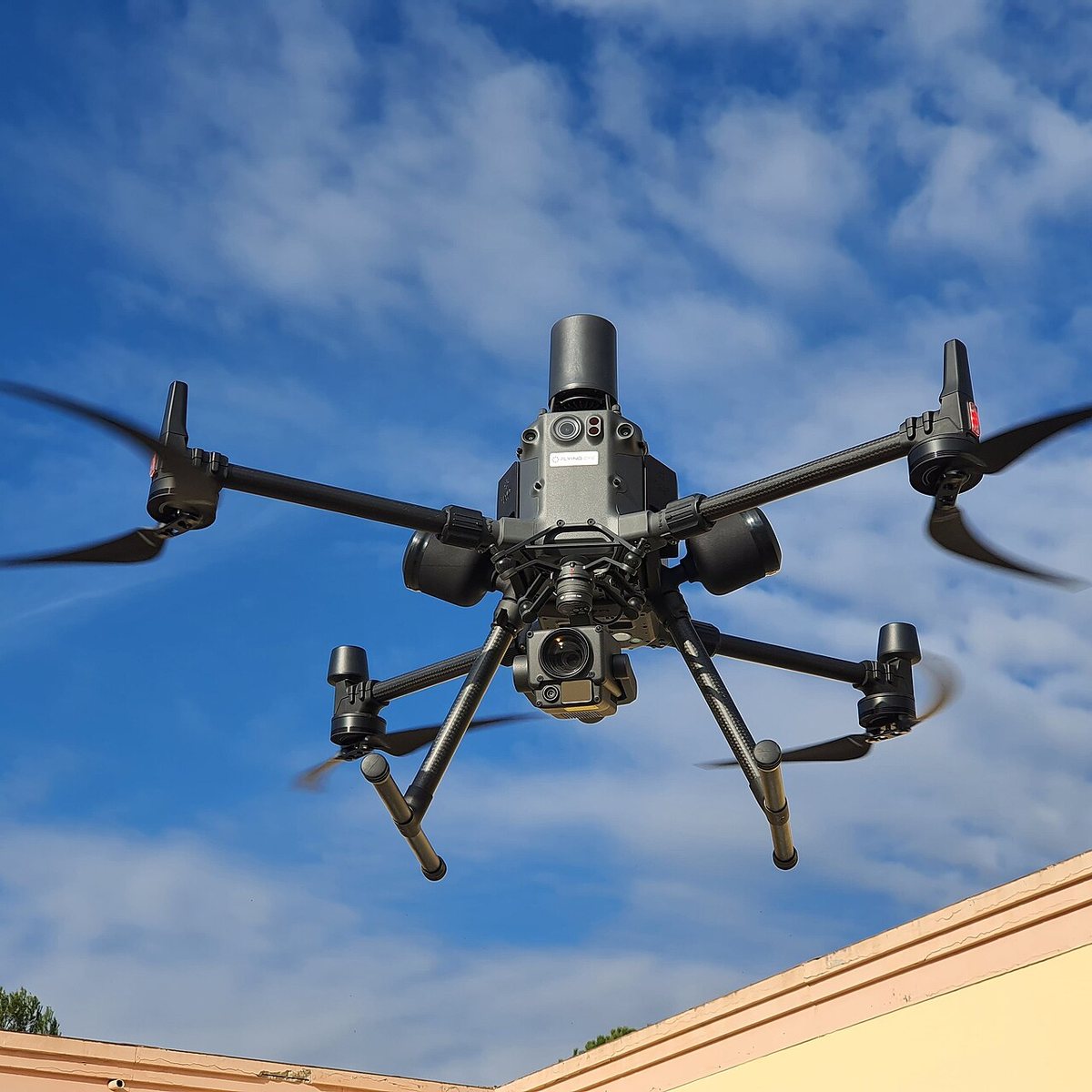
FCC counsel says a ban on foreign thermal, LiDAR and spray drones is still under review
An FCC national security lawyer told a podcast the agency is still reading comments and might allow a transition. Its July notice already proposes 180 days.
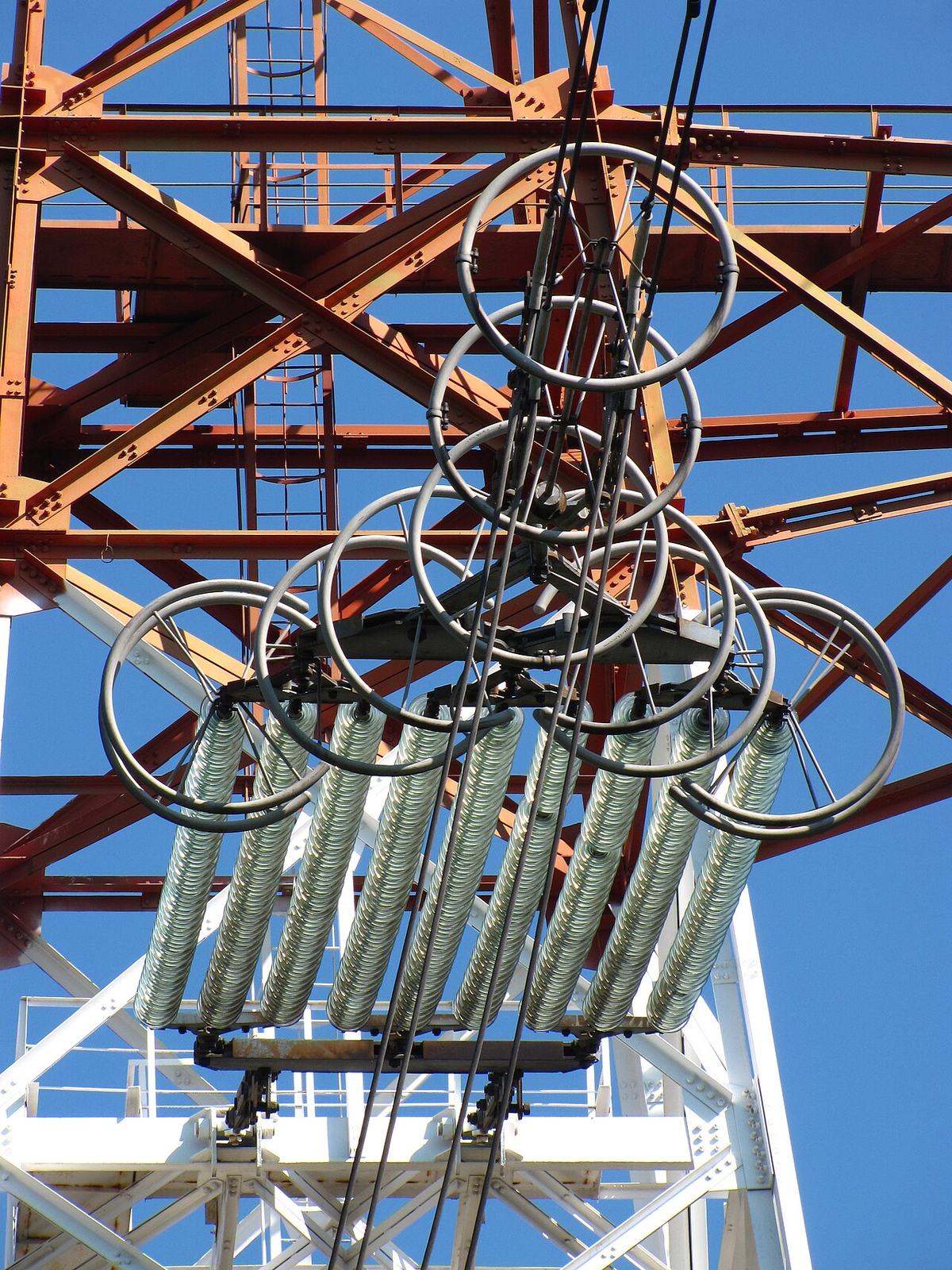
FCC exempts Switzerland's Voliro T inspection drone from its Covered List
A conditional approval from the Department of War clears the contact-inspection drone. It is the 21st entry on the FCC's drone approvals list, and it depends on a plan to move production onshore.
FCC votes 3-0 to open the 800 MHz cellular band to drones, ending a 1991 airborne ban
Drones can use about 50 MHz of low-band cellular spectrum once the order takes effect. It does not make flying beyond visual line of sight any easier: that still waits on the FAA.
Fly it, then map it
Upload your drone photos and get maps, 3D models and measurements — free trial, no credit card.